Salar de Coipasa
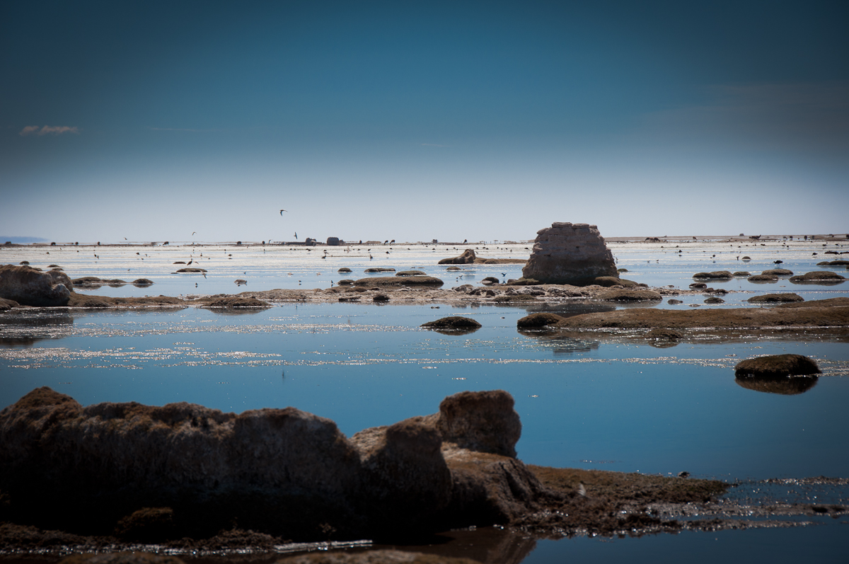
Salar de Coipasa is a 70.0 km-long inland beach, 54.1 km east of Colchane (Bolivia). Average daytime highs peak at 22 °C in November and drop to 14 °C in July.

Weather month by month
November at Salar de Coipasa
Beach-day index 7.5/10
| Measure | Jan | Feb | Mar | Apr | May | Jun | Jul | Aug | Sep | Oct | Nov | Dec |
|---|---|---|---|---|---|---|---|---|---|---|---|---|
| High °C | 20° | 20° | 20° | 18° | 16° | 14° | 14° | 16° | 18° | 20° | 22° | 21° |
| Low °C | 4° | 4° | 3° | 1° | -3° | -4° | -4° | -3° | -2° | 1° | 2° | 4° |
| Rain mm | 70 | 60 | 36 | 13 | 4 | 7 | 4 | 6 | 12 | 16 | 16 | 51 |
| Cloud % | 59 | 59 | 42 | 32 | 27 | 28 | 29 | 28 | 28 | 33 | 34 | 50 |
| Wind m/s | 3.1 | 3.0 | 2.7 | 2.6 | 2.9 | 2.8 | 3.0 | 3.1 | 3.2 | 3.0 | 2.9 | 3.0 |
| Daylight h | 13.2 | 12.7 | 12.2 | 11.7 | 11.2 | 11.0 | 11.1 | 11.4 | 12.0 | 12.5 | 13.0 | 13.3 |
| Record high/low | 26°/-2° | 25°/-3° | 25°/-5° | 23°/-6° | 21°/-6° | 20°/-11° | 19°/-7° | 22°/-8° | 23°/-8° | 25°/-7° | 26°/-5° | 26°/-5° |
| Beach index | 5.8 | 5.8 | 6.1 | 5.6 | 4.9 | 4.9 | 4.9 | 4.9 | 5.4 | 6.5 | 7.5 | 6.7 |
Long-term monthly averages: air from NASA POWER (2001–2020), sea from NOAA OISST (1991–2020); records are the extremes of 2001–2020. How the index works.
Setting
Within 1 km, the land is 100% bare ground, sand or rock (satellite land-cover map, 2021): open dunes, sand or rock.
- Bare 100%
Land cover: ESA WorldCover 2021 (10 m).
This is not a sea beach, so no sea-temperature normals are shown.
When to go
The beach-day index peaks in November; November scores 7.5/10 with highs of 22 °C and 16 mm of rain.
January is the wettest month (70 mm) and May the driest (4 mm); the yearly total is about 300 mm.
Daylight runs from 11.0 hours in June to 13.3 hours in December; in mid-November the sun rises at 06:46 and sets at 19:48 local time.
Photos



Getting there
| Airport | Code | Distance | Direction |
|---|---|---|---|
| Joya Andina International Airport Quijarro | UYU | 176 km | south-east |
| Juan Mendoza International Airport Oruro | ORU | 199 km | north-east |
| Diego Aracena International Airport Iquique | IQQ | 245 km | south-west |
Straight-line distances from the beach; road distance is usually 20–40% longer.
Reference
Salar de Coipasa has an article on the ES Wikipedia: Salar de Coipasa.
Wikidata item Q1860815 · classified as salt pan and lake.
When people look it up
The ES Wikipedia article was read 3,857 times in the 12 months to August 2026. Interest peaks in May (896 views), 5.3× the quietest month.
Map
Loading map…
Data on this page
- Air temperature, rain, cloud, wind, humidity: NASA POWER climatology 2001–2020, 0.5° grid.
- Water body, status and length: Wikidata (CC0).
- Towns and time zone: GeoNames (CC BY 4.0). Airports: OurAirports (public domain). Sunrise and sunset: NOAA solar equations.
- Photos: Wikimedia Commons, author and licence under each image.
- Settlements: GeoNames places with 1,000+ inhabitants.
- Land cover: ESA WorldCover 2021, 10 m (CC BY 4.0).
Data compiled 2026-10-13. Something wrong? Report a data error.